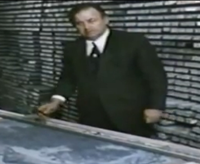
Bruce Heezen, 1975
The Des Moines Register described Bruce Heezen as a large man. This, they said, contributed to his early death at age 53, on this day in 1977. But when we look at photographs of Bruce Heezen, he doesn’t appear to loom so large. Husky, they called that shape back in the 1970s. Normal, we call it today. We will get to his untimely death and its unusual circumstance in a few moments.
The native Iowan – a farm boy who grew up raising turkeys – played an important role in plate tectonics theory. But it is not clear that he accepted the idea himself. Heezen was an expansionist. He believed the Earth is getting larger day-by-day. There is so much about Bruce Heezen that simply does not fit. His hot temper led him to bellow and to knock over waste-bins. But he earned the intellectual respect of all his peers. He dismissed co-worker geologist Marie Tharp’s discovery of the mid-ocean rifts as “girl talk” yet he defended and supported her and bequeathed his home and all his property to her. He grew up feeding turkeys on a prairie farm; he died in a submarine a thousand metres below the sea’s surface.
Here are some passages from the book, The Mountain Mystery:
Beginning in the late 1940s, Maurice Ewing [a seismic expert and director of an oceanography lab] and Bruce Heezen tried to work together using seismic and sonar to map the seafloor. At first, they collaborated brilliantly. Ewing had discovered Heezen in Iowa, where Bruce Heezen was an undergraduate geology student. Ewing offered the young man a job alongside him aboard the Atlantis, collecting sea-depth profiles. Instead, when twenty-year-old Bruce Heezen arrived on the east coast, Ewing assigned him the role of chief scientist aboard a different ship. Heezen, not yet a senior at his college, was in charge of a research ship and its data collection. At the end of the summer, he was back in Iowa where he finished his degree, then headed to Columbia for graduate work directed by Ewing.
But the two soon despised each other and their work was anything but cooperative. It was, however, successful. Their animosity probably grew out of rather self-assured egos. There were some similarities. Ewing grew up on a cattle ranch in west Texas; Heezen on an Iowa turkey farm. Ewing and Heezen both moved east, both fell into geophysics early and became oceanographers. Both were life-long outsiders, misfits, perhaps. Both played key roles proving Wegener’s continental drift idea was right, yet both remained skeptical about the whole scheme. Heezen believed the Earth was expanding; Ewing wasn’t sure what to believe and likely doubted continents move at all. Ewing was continually nervous that others would steal his thoughts, while Heezen was aggressive and given to throwing trash cans and kicking walls. So perhaps there was a bit of tension there. Ewing, the boss, tried to fire Heezen several times but Heezen was tenured and wasn’t going anywhere. Ewing finally resorted to starving his colleague’s budget. And then there was the brilliant Marie Tharp complicating their dynamics.
Marie Tharp, as it turns out, is the one who really turned oceanography on its head. She mapped the seafloors and made the key discovery that led others to prove Wegener’s drift theory. Ewing directed the lab; Heezen collected the data; Tharp created the maps – and offered insights the others missed.
Heezen was the consummate oceanographer. His credibility rose from his discovery of turbidites, huge undersea landslides that sweep millions of tonnes of rock and seafloor muck down the continental slopes. Usually triggered by earthquakes, turbidites race along the submerged continental shelf at horrendous speeds – up to 400 kilometres per hour. Carrying an enormous amount of debris, nothing in the path of a turbidite is safe. In 1929, an earthquake off Newfoundland forced a wide turbidite flow across the trans-Atlantic telephone and telegraph cables, ripping out 12 of them, clipping America’s link to Europe. By understanding the cause, substance, and predictability of these undersea landslides, Heezen emerged a respected oceanographer, as unlikely as that may seem for a mid-west turkey farmer. His reputation assured him of a steady supply of oceanographic data from a wide range of sources – even after Ewing caught some of his sources.
The hulking Heezen gave Tharp boatloads of data to add to her maps. The depth values were acquired in narrow straight lines, recorded by vessels crossing the Atlantic. These data led to the Tharp’s discovery of the mid-Atlantic rift and led to a fabulous serious of ocean-floor maps printed by the National Geographic Society – the society’s most popular and most famous map series ever. (You can see a sample at this link.)
Tharp, Ewing, and Heezen collaborated on the 1959 book The Floors of the Oceans which was accompanied by their dramatic map of the North Atlantic seafloor. It was drawn in a single colour of ink. Marie Tharp plotted the depths and turned the sparse linear tracks into a three-dimensional map, extrapolating beyond the known to create a convincing diagram. But it was actually Heezen who picked up a pen and sketched a cartoon, or physiographic map, with shaded and cross-hatched shapes symbolizing the steep edge of the continental shelf and the bumps, hills, and mountain ranges rising from the abyssal floor. Heezen’s sketch, which he wasn’t quite pleased with as he was too impatient to be an artist, allowed the team to publish their findings. The navy, which had been financing the ships and their data acquisition, refused to release the actual sea depths. That was classified information. It might help Soviet submariners hide among cracks and crevices at the seafloor. So the military kept the numbers locked away. However, presenting the maps as a stylized physiographic work of art allowed Ewing, Heezen, and Tharp to release a copy of the first truly magnificent seafloor map ever drawn – without going to prison.
Amid their success, the feud between Ewing and Heezen escalated from loud words and over-turned paper bins until Ewing, the director, cut off funding and marine data to Heezen. By then, Bruce Heezen was a tenured professor at Columbia and couldn’t be fired. But Ewing fired Marie Tharp to hurt Heezen’s research. However, Heezen had expected this and had already cultivated strong ties with other academies and with the US Navy. From these, he received funds and data so he paid Tharp through grants and continued to supply depth profiles to her. Tharp moved her work into her own home, using her own bedroom as her drafting space. By now she had completed the Atlantic and moved on to chart the Indian Ocean in preparation for the International Indian Ocean Expedition. Data arrived from the US Navy, various American oceanography groups, and scientific teams from Russia, Japan, the UK, and South Africa. At the same time, Heezen and Tharp’s work attracted the attention of the National Geographic Society, which wanted a map for their coincidental 1964 magazine article on the Indian Ocean.
Their one-to-one-million scale had to be cut back, which meant simplifying some of the features. The project also meant updating maps already completed as newer data arrived. Meanwhile, Heezen spent hundreds of hours in Navy research submarines, measuring and observing all he could about the ocean floor.
By 1977, their opus was nearly complete. Heezen was carrying proofs of their final world summary map when he boarded the American nuclear-powered submarine NR-1, which held ten people and could stay submerged for 30 days. It was in the North Atlantic recovering a secret Phoenix missile that had sunk near Scotland because a US military plane had fallen from an aircraft carrier. The sub then moved over the submerged mountains of the Reyjanes Ridge southwest of Iceland where Heezen boarded to gather data. Charitably described by the Des Moines Register as a large man, Heezen died in the submarine, aged 53, of a heart attack. His body was carried by helicopter from the sub’s support ship to Iceland, then flown to the States. At the time, Heezen’s thirty-year colleague, Marie Tharp, was in the eastern Atlantic, aboard the British research vessel Discovery. Their final world map of the ocean basins was published a few months later. Their work was over, the world’s maps were complete. In his will, Bruce Heezen, who had never married, gave his house in Piermont, along the Hudson north of New York City, to Miss Marie Tharp.
Read the book, The Mountain Mystery.

Hello Ron,
I’m a teacher/researcher located in Texas and I’m currently working on a project involving the work of Bruce Heezen. I just had a few questions regarding his work and more specifically, his untimely death. If you could please spare a few minutes, I would really appreciate it sir.
Thank you for your time!
Michael
LikeLiked by 1 person
I have sent you my email address. Nice project.
LikeLike